Introduction:
Karol Tibba is a peak situated at Solan, Himachal Pradesh. It is one of the highest peak in Solan at an altitude of 2240m. It is a challenging trek. It should take any where between 2-4 hours to reach the peak depending on your fitness level. I have provided the GPX file so you can use it to find the direction. The distance one way is around 4kms.
This hike is only to Karol Tibba and back. Not exploring the Pandava Caves and not going via Helipad. It starts from Chambhagat Bus Stand.
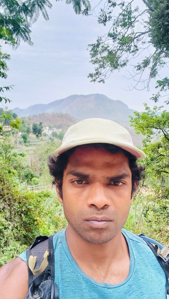
I trekked this peak by myself using Google maps and reading articles regarding this trek. I hiked up the peak on June 20, 2024. The weather was cool and overcast, so I didn’t feel the heat much but prepare according to the weather. If it rains, certain sections can be slippery and tricky, watch out for that. If you trek it alone you may find yourself quite isolated but there are shepherds around with cattle. If you go in a group there is no need to fear at all. This side of the Himalayas are known for leopards not that you will sight one but it’s better to know the possibilities. The locals say the leopards don’t attack humans. Since, there is a temple on top there is human movement but not too much. It is relatively a safe trek to do it by yourself or in a small group.
What you need to carry?
1-2 litres of water. Snack/food if you get hungry. Certain sections can get hot so a cap would be a good idea.
Distance and duration:
8km in total, 4-7 hours
Details:
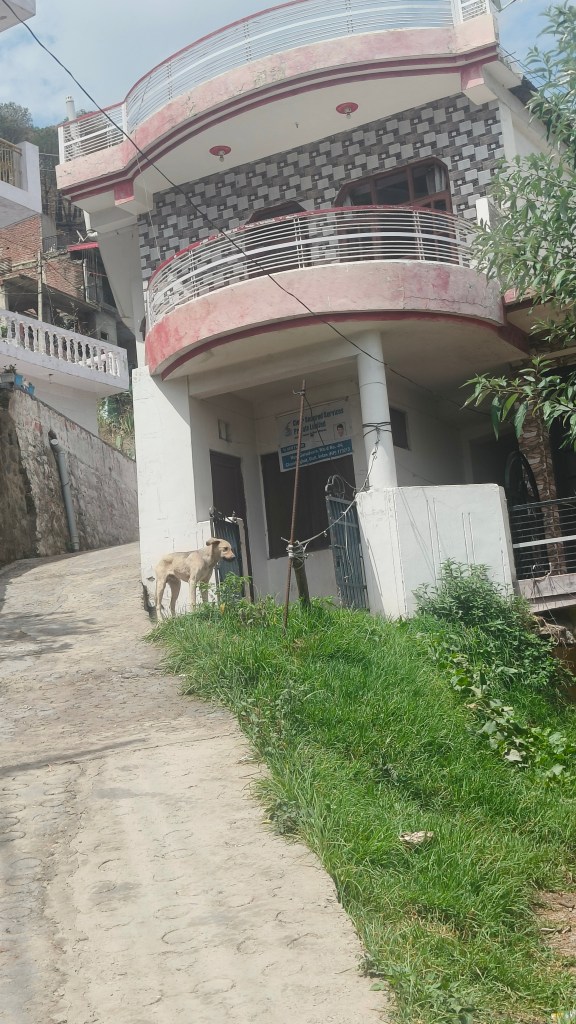
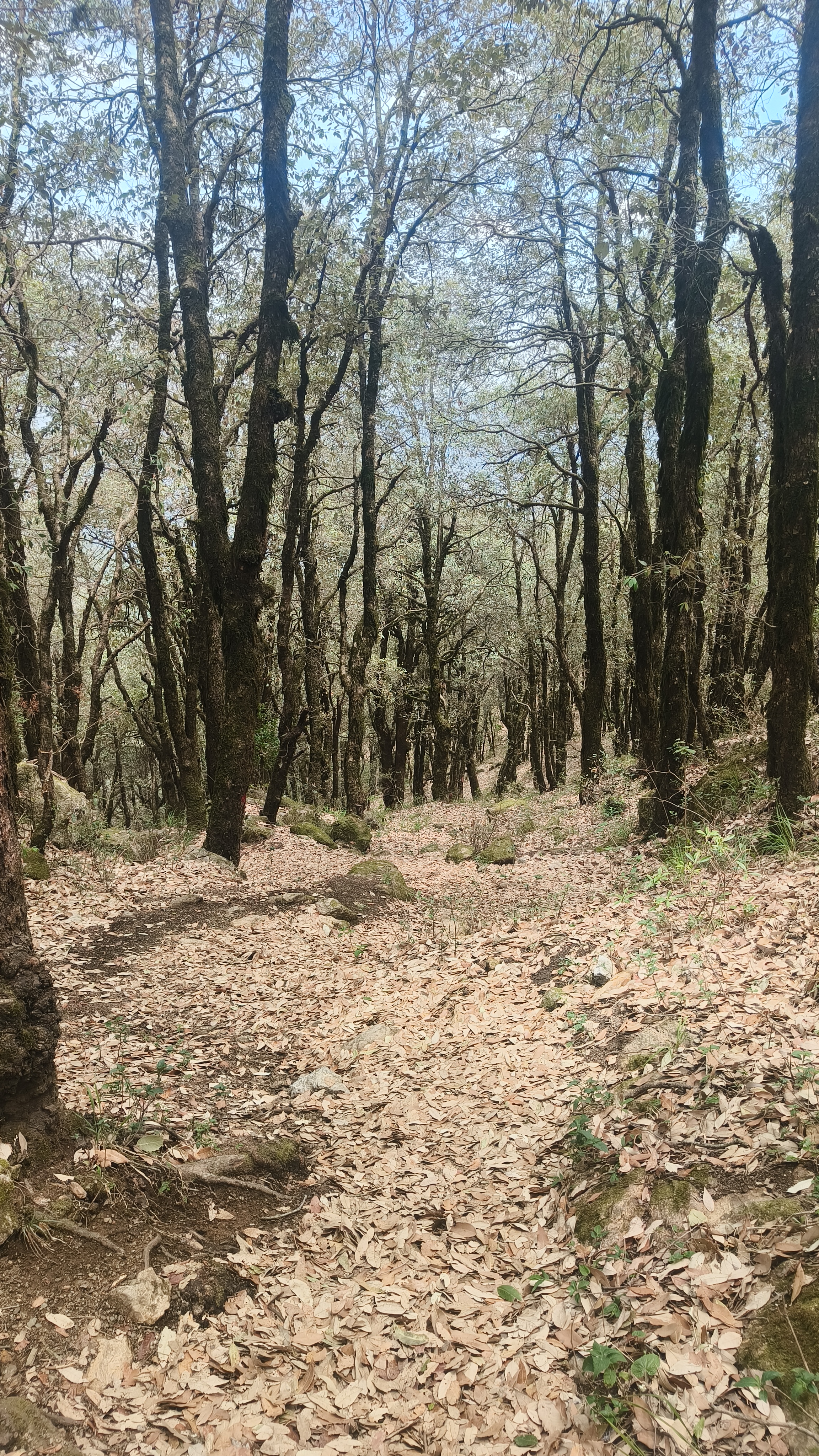
The trail starts from Chambhagat. It is a fairly popular trek. As you reach the junction look for a Yamaha Showroom or ask the locals or shopkeepers the route to Karol Tibba and you will be pointed in the right direction. Or simply use the GPX file I have provided. It starts from a line of shops, then the Yamaha service center to your left and the trail of stairs leads to the summit. You need to follow a cemented path which goes through the village on the slopes. About 300 – 400 meters you will exit the village.
From here on follow the paved path for about 1.5 kms, you will reach an opening with a small building. If you take the left and go down the mud road you can visit Friendship Peak, you can go via this route as well, it is a lot more easier but I don’t have the GPX file for this route. If not you follow the mountain path which is behind the building which will take you to the top. There are many trails which take you to the summit.

The trail is going to get steeper now as you hike up. If you follow GPX Route 1 on the way up you will find arrow marks and a big white water tank with directions to the summit.

You have arrow marks painted on the stones and also pieces of cloths tied on the branches to show you the path. The pieces of cloth were usually in red, orange or pink in colour.


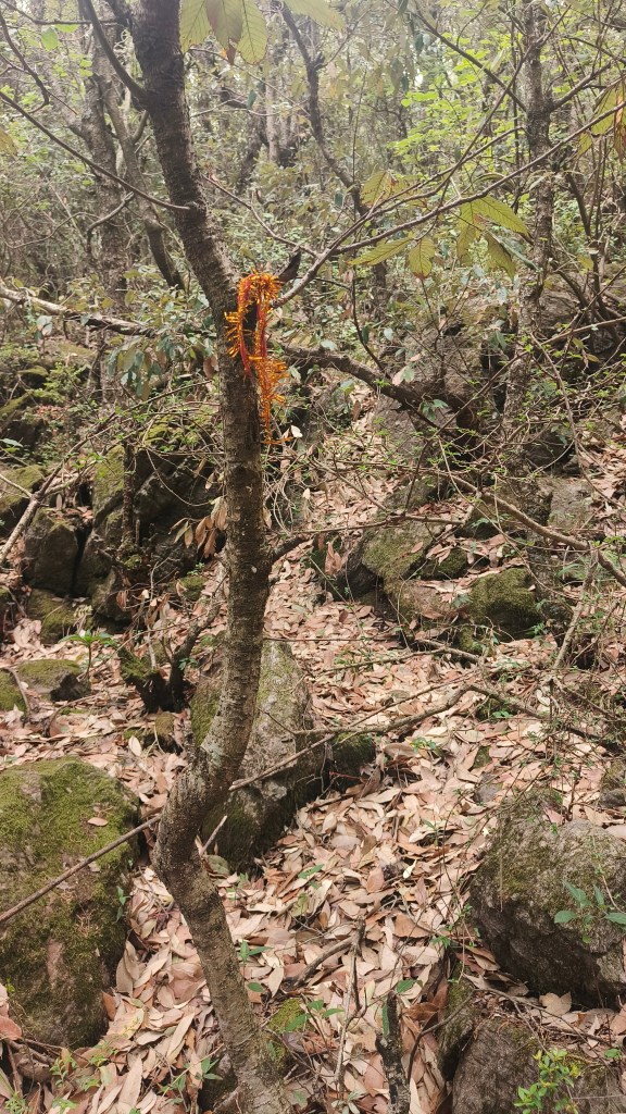
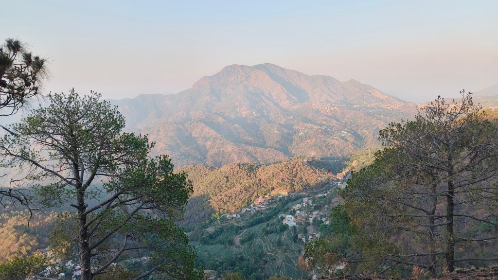
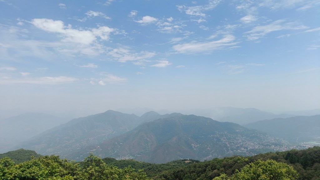
The pieces of cloth aren’t found throughout the trail, you find it as you get closer to the top. Keep following the trail and you will find a few buildings and an open field, which is called Karol Maidan on google maps, keep follwoing the trail, it will lead you into a green patch. This path takes you to one more turning point. Two boards one going to Karol Tibba and the other going to Pandava caves. Take the route leading to Karol Tibba and after 500-600 meters it will lead to another opening. From here you get the panaromic view of Solan City. Now, you will notice a series of electrical poles and cables leading to the summit.


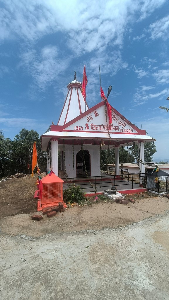
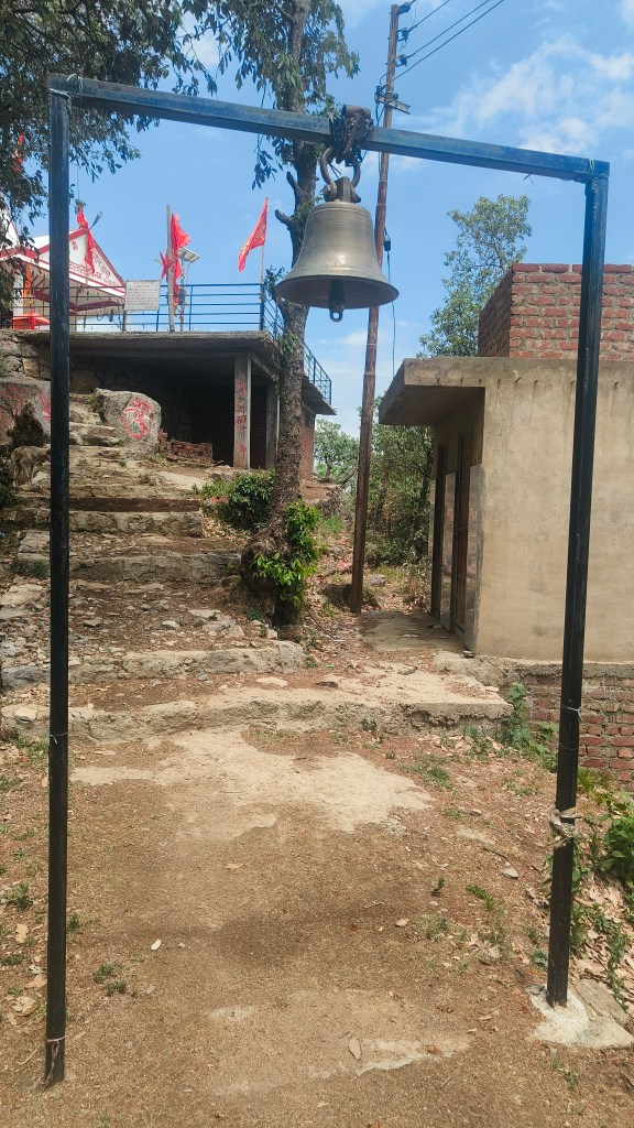
Follow the trail and in about 500 meters you should have reached the summit! Take your shoes off, snack, relax and enjoy the view.
I took a break for about 45 minutes.
This puppy accompanied me throughout the trek. I wasn’t really alone. He is taking a nap after a tiring climb uphill.


GPX files:
This is the GPX file going up – 5.7km
https://drive.google.com/file/d/18nBcm2PQP4eOSGxA_kCzDTvB6SsTKv1T/view?usp=drive_link
This is the GPX file coming down – 3.75km
https://drive.google.com/file/d/18hbhhB_AQe7PAOar2TnTNc8U8Ce8TyI_/view?usp=drive_link
https://drive.google.com/file/d/18hbhhB_AQe7PAOar2TnTNc8U8Ce8TyI_/view?usp=drive_link
